

Latest Photos
- Aggy - Erse Passage
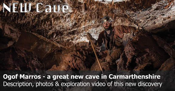
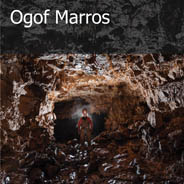
- 6 photos added - Ogof Marros
- new page added - Aggy - Inner Circle
- 5 photos added - OFD2 Great Oxbow
- 5 photos added - Cwm Dwr Big Shacks
- 4 photos added - Cwm Dwr - Piccadilly
- 6 photos added
Latest Videos
-
Ogof Ffynnon Ddu
- One and a Half -
Novice Caving
- in Ogof Ffynnon Ddu 2 -
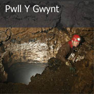
Pwll Y Gwynt
- Trip Highlights -
Shakespeare's Cave
- Trip Highlights -
Cwm Dwr
- Upper Piccadilly -
Cwm Dwr
- Fault Aven Series

Longest Welsh Caves
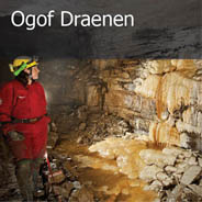
- Ogof Draenen
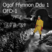
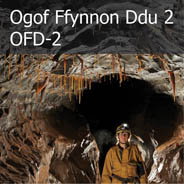
- Ogof Ffynnon Ddu System
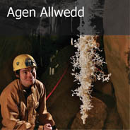
- Agen Allwedd
- Daren Cilau
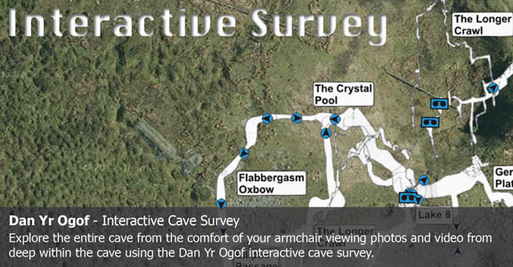
- Dan Yr Ogof
- Ogof Carno
- Little Neath River Cave
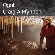
- Ogof Craig A Ffynnon
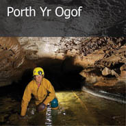
- Porth Yr Ogof
- Tunnel Cave
Major Caves in South Wales


Cave Conservation Code
- Cave with care and thought for the environment.
- Disturb nothing whether living or geological.
- Avoid touching formations.
- Keep to marked routes and never cross conservation tapes.
- Take nothing but photographs.
- Do not pollute the cave, leave nothing behind.
british-caving.org.uk
Download leaflet
