


Overview
Ogof Fechan also known as Ogof Fach.This a little visited active stream cave that provides a quite sporting trip in dry settled weather.
Length 1067m
Altitude 297m
Grid SN 97065 09730
History
The cave was first explored by the Monmouth School Caving Club in the 1950s and was extended by the Oxford University Caving Club in 1965. Major extensions to the cave were discovered by the Westminster Speleological Group in 1970.
Location
Ogof Fechan is located in Cwm Cadlan near Penderyn. The cave is located in a shallow dry valley behind Wernlas Farm, the stream that formed the cave sinking an few metres further up the valley to the cave entrance. From the farm a track leads through a small stream and then peters out. Heading to the higher ground a area of rocks is found, from where heading directly East a gate in the fenced wall is located. Once through the gate head down to the dry valley. A small outcrop of rock can bee seen in the base of the valley with two Rowan trees growing above it. Below the Eastern tree is where the water sinks into the cave. Beneath the tree to the West is the entrance to Ogof Fechan in the base of the cliff. Sychryd and Hepste Google map showing the location of Ogof Fechan and other caves in the area.
Location map - click marker to show entrance photo
Access
Please ask permission to visit the cave at Wernlas Farm.
Description
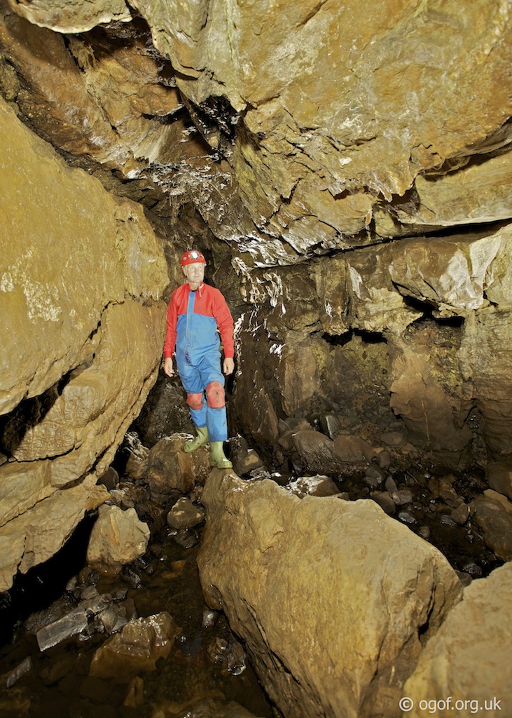
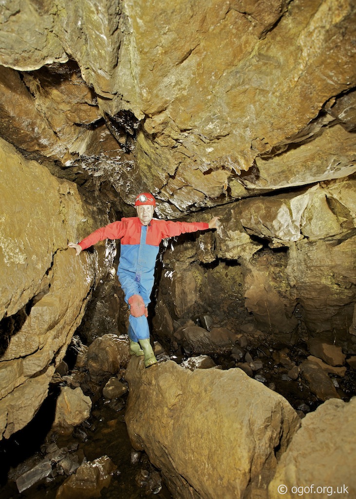
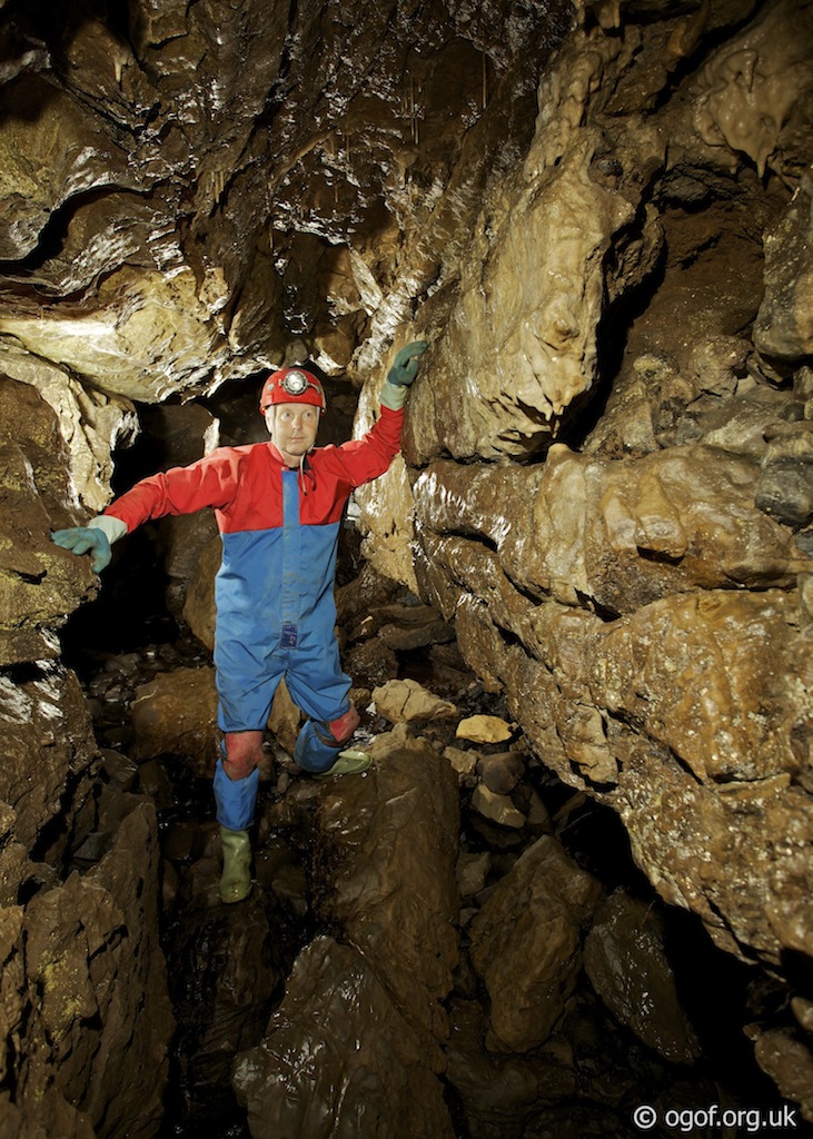
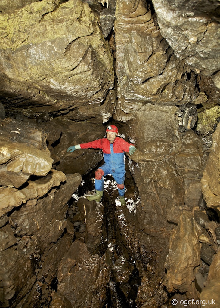
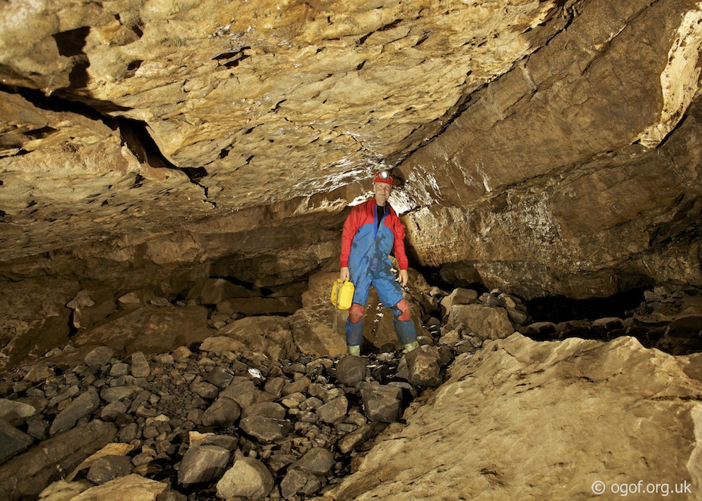
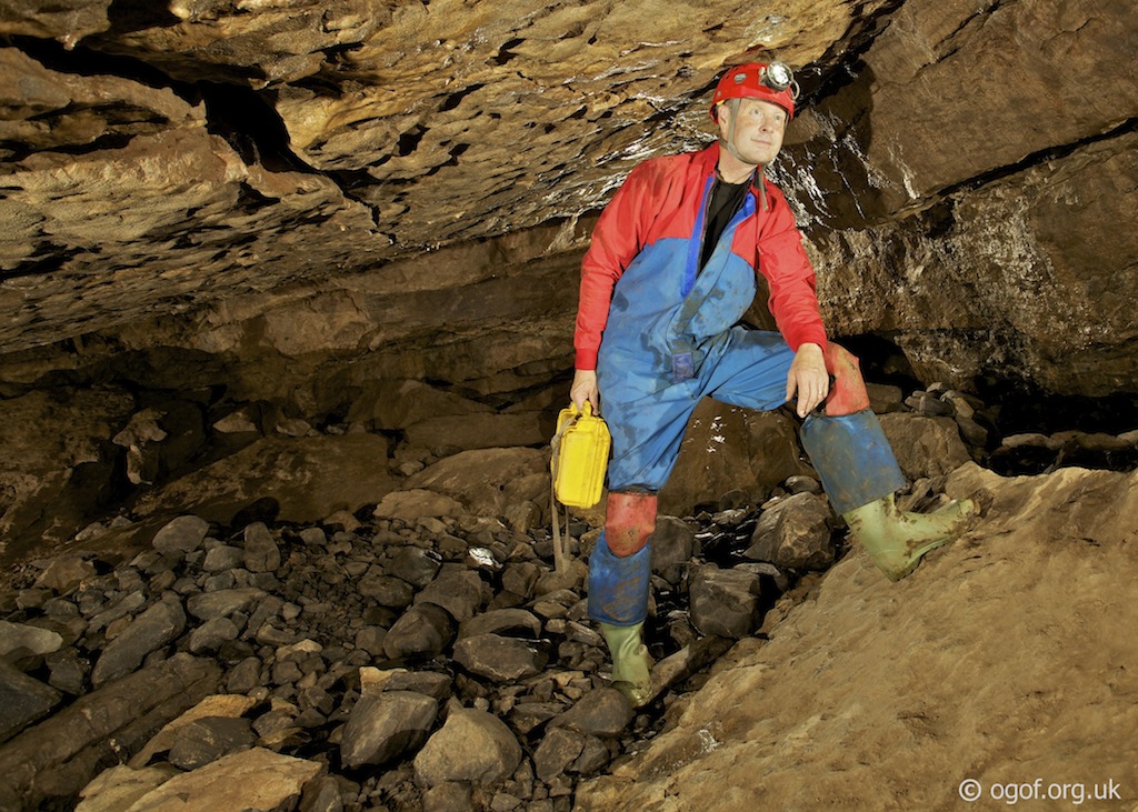
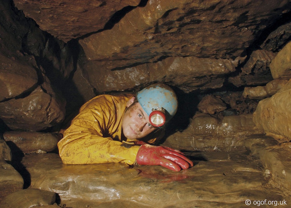
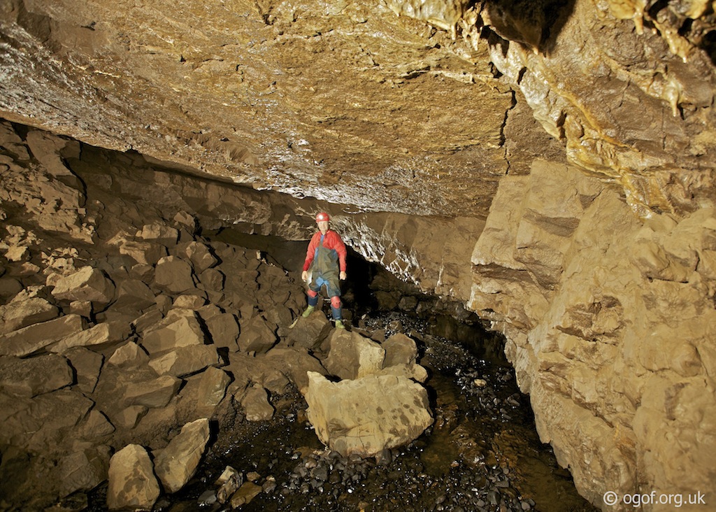
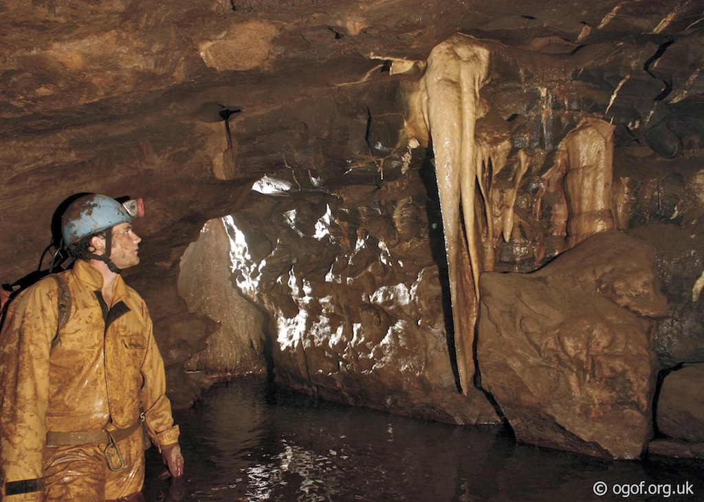
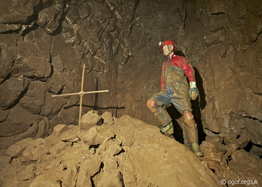
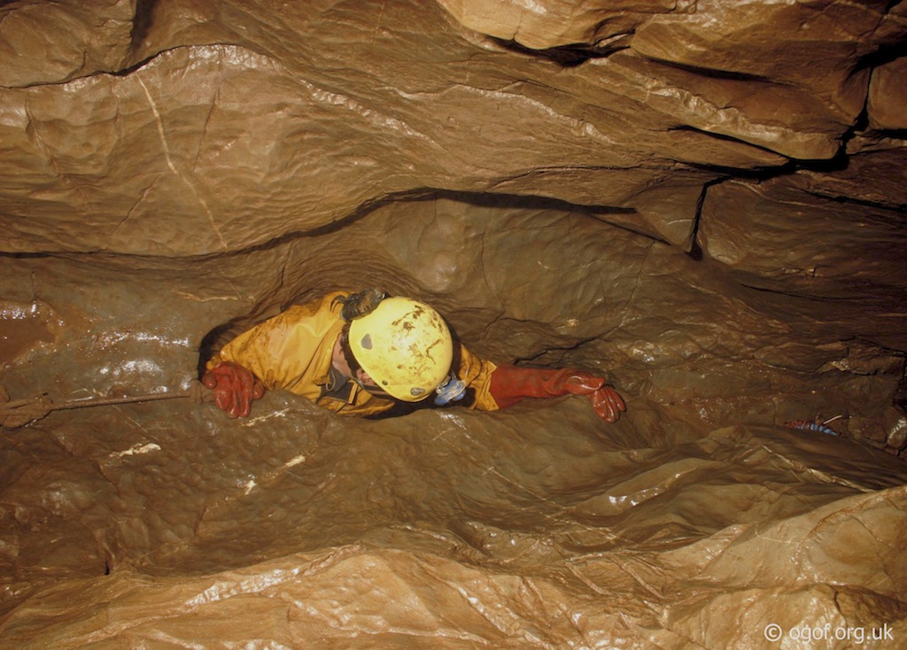
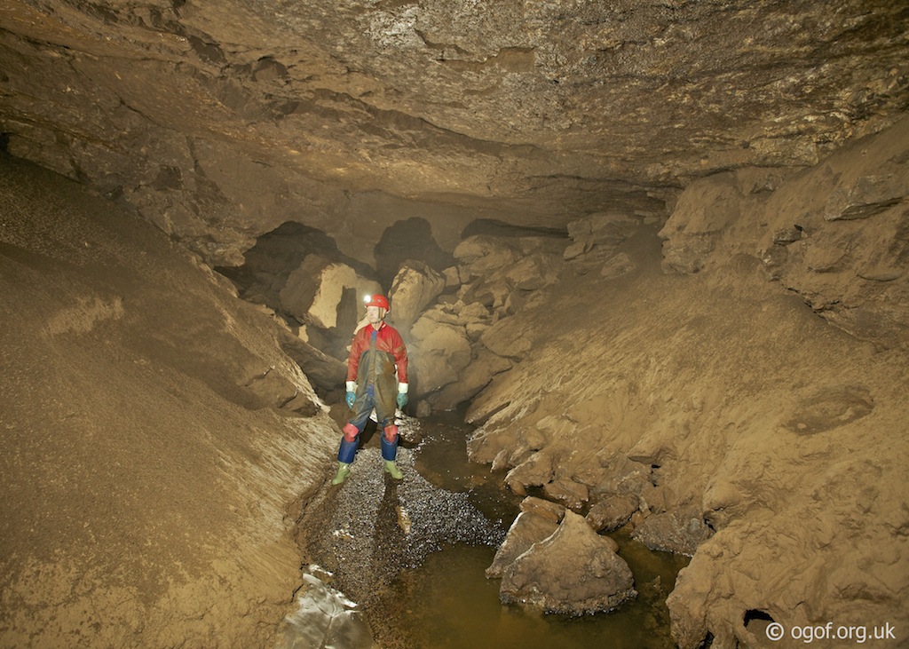
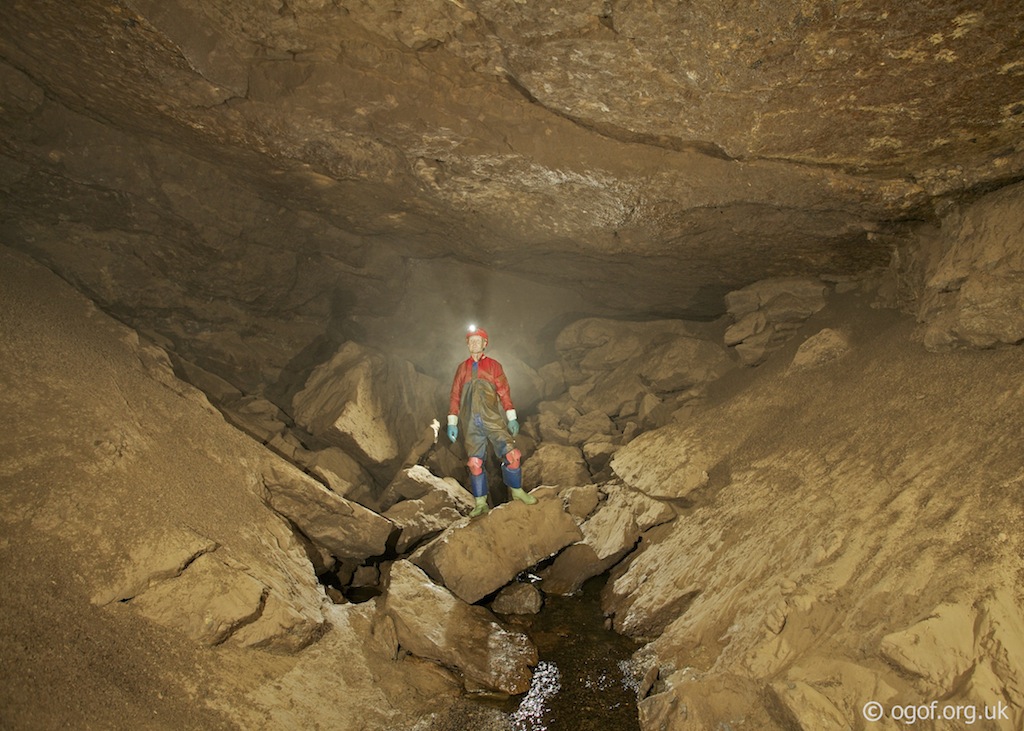
The entrance to the cave is a short descent into a small rock floored chamber. To the right is a drop down through boulders into a smaller chamber at the head of a drop down a 7m deep rift. Climbing down the rift leads to a short crawl, which pops out in a larger passage where the stream is met for the first time in the cave. A section of walking size stream passage is followed until the stream is lost to the right. At this point a low crawl over cobbles in the latter section pops out into Sand Chamber with it's distinctive flat sloping roof. From here some digs lead off to the right, but the way on is to head left to an area of collapse in the floor of the chamber, at this point close to the back wall is a descent down through the boulders leads back down to the stream. The stream is only followed for a short distance before is disappears ahead. The way on is to the right, which follows a distinctive passage formed in a shale band. This crawl has a flat polished floor and descends at a steep angle to meet the water coming down a flat floored chute on the left. Following the water downstream a low section of passage leads to the top of a short cascade into a chamber. Beyond this chamber is the start of the Wet Crawl, a hands and knees crawl in water that leads through to a further large chamber with mud bands on the left. The height of the chamber decreases as you follow the water until a drop through boulders leads to the start of the Canal. This is another low crawl in water that eventually leads to some gravel banks and a low passage on the left. This passage on the left gradually descends and has a smooth floor. Some nice formations are passed before the passage becomes a rift past a calcite dam. West Rift now has deep water and passes a fine calcite column as it enters a much larger passage as the stream is regained. Following the stream a large chamber is encountered that ends in a large boulder choke. Climbing to the top of the boulder slope a few drips of water coming from the roof indicate a climb up into the base of an aven. From here a low passage leads to a chamber with steel cross and a steep descent down into a bouldery passage. The route is followed across the boulders and slabs of rock above the stream until eventually a route down through the rocks leads back into the stream. This passage then leads to a pool of water with sump 1 heading off to the left and a handine leading off straight ahead to guide the way through the duck. Beyond the duck a mud bank leads to a climb up a knotted rope (use with caution). This tight climb leads up into a passage above the sump. To the right it closes down, but to the left it can be followed until it becomes a sandy floored crawl and leads to the base of a boulder slope. A squeeze up through the boulders at the top leads into Waterfall Chamber. Fine mud banks line both sides of the streamway. Following the water upstream leads to the other side of Sump 1 after 30m. Downstream the passage meanders through the mudbanks before gradually decreasing in size until sump 2 is met after 76m.
Tackle
A wetsuit or neofleece is advisable.
Video

References
Cambrian Cave Registry for Ogof Fechan Caves of South Wales | Tim Stratford | ISBN: 1-871890-03-9 | Published by Cordee
Warnings
There are low wet sections in this cave that flood to the roof in wet weather - only visit in dry settled weather.
Disclaimer
The photographs and information of this page has been provided to help cavers planning trips. Caving can be a dangerous activity, if you are interested in exploring caves please join a caving club so you can enjoy a safe introduction to this sport. Local caving clubs are listed on the links page or you can visit the 'New To Caving' website for more options.If you feel that any of the information is incorrect or should be updated please contact us.
Cave Conservation Code
- Cave with care and thought for the environment.
- Disturb nothing whether living or geological.
- Avoid touching formations.
- Keep to marked routes and never cross conservation tapes.
- Take nothing but photographs.
- Do not pollute the cave, leave nothing behind.
british-caving.org.uk
Download leaflet
